Waterfalls in Alabama
Alabama has 51 named waterfalls in our directory, the 28th most of any state. The most are in DeKalb County (12).
Updated November 2026
51Named falls
0With a recorded height
1Counties with 5 or more
Well-known falls in Alabama
Falls with a Wikipedia article or a figure from the land manager, so their details can be checked.
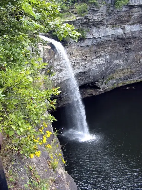
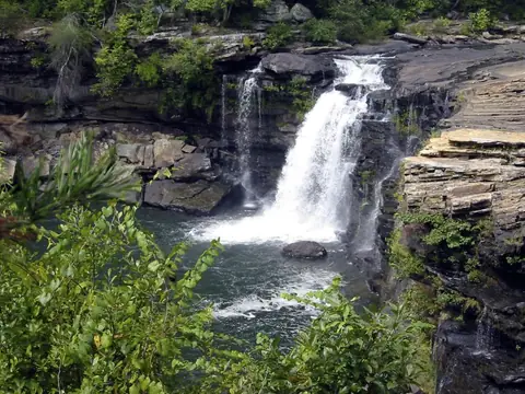
Alabama waterfalls by county
Counties with five or more named falls have their own list. Smaller counties are listed further down this page.
Waterfalls near Alabama towns
Other named falls in Alabama
Every fall has a Google Maps directions link. Locations are mapped points, so the trail or viewpoint may start somewhere else.
Blount County
-
Cornelius Falls
-
Mardis Mills Falls
-
Nectar Falls
-
Powell Falls
Cherokee County
-
Little Falls
Clay County
-
Great Falls
Colbert County
-
Georgia Falls
Elmore County
-
Wetumpka Falls
Etowah County
-
Noccalula Falls
Franklin County
-
Butler Falls
Houston County
-
Rock Falls
Jackson County
-
High Falls
-
Little Falls
-
Pisgah Gorge Falls #1
Jefferson County
-
Village Falls
Lawrence County
-
Kinlock Falls
-
Parker Cascades
-
The Fall Off
Lee County
-
Great Falls
Marion County
-
Factory Falls
-
Mill Falls
Marshall County
-
Piney Branch Falls
-
Ragsdale Falls
-
Short Creek Falls
-
Thompson Falls
Mobile County
-
Cedar Creek Falls
Morgan County
-
Ditto Falls
-
Seven Falls
-
Welcome Falls
Randolph County
-
High Shoals Falls
Shelby County
-
Davis Falls
-
Peavine Falls
-
Weaver Falls
Talladega County
-
Rendalia Water Falls
-
Rob Roy Falls
-
Salt Creek Falls
Winston County
-
Caney Creek Falls
-
Parker Falls
-
Quarter Creek Falls
Questions about Alabama waterfalls
How many waterfalls are in Alabama?
Our directory lists 51 named waterfalls in Alabama, from OpenStreetMap and the United States Geological Survey list of named falls. Many smaller unnamed cascades are not counted.
Which county in Alabama has the most waterfalls?
DeKalb County has the most named falls in our list, with 12.
Coming soon from E-Guides
Waterfall Road Trips: The Best Falls in Every State ebook
A planned ebook with trail length, parking and the best season for each highlight fall. It is not on sale yet; we will add it here when it is ready.