Burney Falls
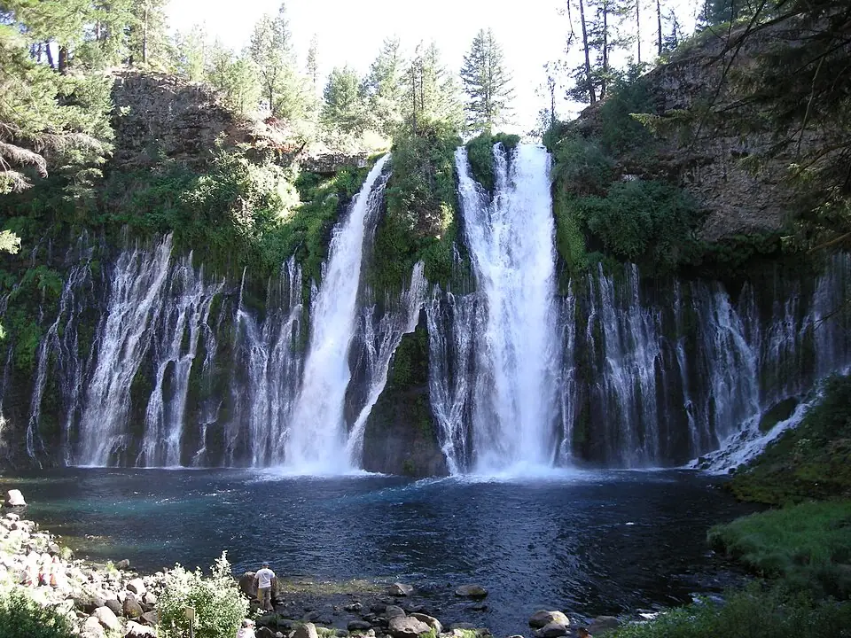
Burney Falls is a waterfall in Shasta County, California, about 8.6 miles north of Burney. California State Parks lists it at 129 feet. It sits in McArthur-Burney Falls Memorial State Park.
Before you go
- McArthur-Burney Falls Memorial State Park has its own opening hours and any parking or day-use fees. Check the park's official page before you go.
- Rocks near falling water are slippery even when they look dry. Stay behind railings, keep off the top of the falls, and do not swim unless signs say it is allowed.
More on staying safe: waterfall safety tips.
Other falls near Burney Falls
Within 15 miles, by straight-line distance.
-
Clark Creek Falls
-
Rock Creek Falls
-
Pit River Falls
-
Kinner Falls
Burney Falls questions
Where is Burney Falls?
Burney Falls is in Shasta County, California, about 8.6 miles north of Burney. Its mapped point is at 41.01195, -121.65197; use the directions link for a driving route, and check where the trail or viewpoint starts.
How tall is Burney Falls?
California State Parks gives 129 feet (about 39 meters).
More nearby: all falls in Shasta County, California waterfalls.