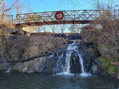
Waterfalls Nearby

Waterfalls in Capitol Planning Region, Connecticut

Capitol Planning Region, Connecticut has 23 named waterfalls in our directory. The nearest towns for most of them are Manchester, Salmon Brook and West Simsbury. The tallest recorded height is Carpenter's Falls, at about 16 feet.

Updated November 2026

23Named falls

1With a recorded height

2With their own page

Best-documented falls in Capitol Planning Region
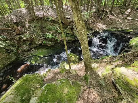
All named falls in Capitol Planning Region

Falls with a linked name have their own page. The rest have too little recorded detail for a page of their own, so they are listed here with height, nearest town and a directions link.

  • Codfish Falls

    about 1.6 miles northeast of Storrs

  • Mill Pond Falls

    in Newington

  • Beach Brook Falls

    about 4.1 miles west of Salmon Brook

  • Blackledge Falls

    about 4.7 miles north of Terramuggus

  • Carpenter's Falls

    about 16 ft ยท about 3.2 miles west of Salmon Brook

  • Cascade

    about 3.5 miles north of Terramuggus

  • Cascade

    about 2.4 miles west of Stafford Springs

  • Cascades

    about 1.6 miles west of Storrs

  • Cascades

    about 2.7 miles south of Bristol

  • Cascades

    about 2.7 miles south of Glastonbury Center

  • Case Falls

    about 2 miles southeast of Manchester

  • Cathles Trail Falls

    about 1.9 miles north of West Simsbury

  • Center Springs Falls

    in Manchester

  • Dividend Falls

    about 4.2 miles southwest of Glastonbury Center

  • Enders Falls

    about 4.4 miles west of Salmon Brook

  • Grayville Falls

    about 3.1 miles northwest of Colchester

  • Hockanum Falls

    in Rockville

  • Intermittent Cascade

    about 3 miles south of New Britain

  • Lost Acres Falls

    in North Granby

  • Northgate Falls

    about 2.9 miles north of West Simsbury

  • Talcott Ravine

    about 3.5 miles northeast of Manchester

  • Westledge Trail Cascades

    about 3 miles north of West Simsbury

  • Wyllys Falls

    about 1.9 miles southeast of Manchester