Waterfalls in Lumpkin County, Georgia
Lumpkin County, Georgia has 10 named waterfalls in our directory. The nearest towns for most of them are Dahlonega, Helen and Blairsville.
Updated November 2026
10Named falls
0With a recorded height
1With their own page
Best-documented falls in Lumpkin County
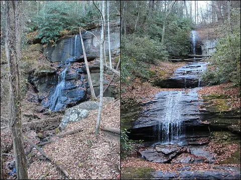
All named falls in Lumpkin County
Falls with a linked name have their own page. The rest have too little recorded detail for a page of their own, so they are listed here with height, nearest town and a directions link.
-
Black Falls
-
Blood Mountain Creek Falls
-
Clay Creek Falls
-
Dicks Creek Falls
-
Etowah Falls
-
High Water Falls
-
Lower DeSoto Falls
-
Upper DeSoto Falls
-
Walden Creek Waterfall