Waterfalls Nearby

Waterfalls in Haywood County, North Carolina

Haywood County, North Carolina has 49 named waterfalls in our directory. The nearest towns for most of them are Brevard, Waynesville and Maggie Valley. The tallest recorded height is Wildcat Falls, at about 197 feet.

Updated November 2026

49Named falls

9With a recorded height

1With their own page

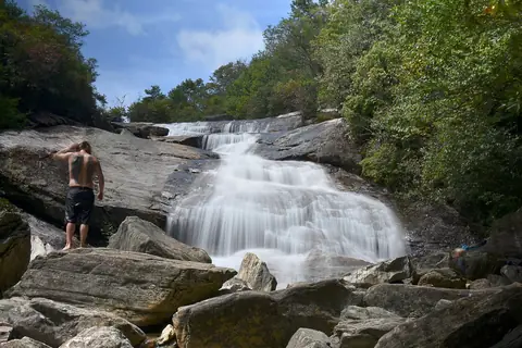
Best-documented falls in Haywood County
All named falls in Haywood County

Falls with a linked name have their own page. The rest have too little recorded detail for a page of their own, so they are listed here with height, nearest town and a directions link.

  • Second Falls

    about 8.4 miles northwest of Brevard

  • Alyssa Falls

    about 4.5 miles southwest of Maggie Valley

  • Berry Branch Falls

    about 9.5 miles south of Waynesville

  • Big Beartrap Falls

    about 10 miles south of Waynesville

  • Boomer Inn Falls

    about 8 miles south of Waynesville

  • Boulderfield Falls

    about 164 ft · about 11 miles southeast of Waynesville

  • Bubbling Spring Branch Cascades

    about 11 miles northwest of Brevard

  • Buckeye Falls

    about 66 ft · about 12 miles south of Waynesville

  • Bullpen Cove Falls

    about 9.5 miles northwest of Brevard

  • Campbell Creek Falls

    about 4.4 miles southwest of Maggie Valley

  • Dark Prong Falls

    about 8.1 miles northwest of Brevard

  • GPS Falls

    about 9.2 miles northwest of Brevard

  • Gunter Fork Cascades

    about 14 miles northwest of Maggie Valley

  • Gunter Fork Falls

    about 14 miles northwest of Maggie Valley

  • Ivestor Ridge Falls

    about 9.4 miles northwest of Brevard

  • Little Beartrap Falls

    about 9.4 miles south of Waynesville

  • Little Bird Falls

    about 11 miles southeast of Waynesville

  • Little East Fork Falls

    about 9.9 miles southeast of Waynesville

  • Little Fall Branch Falls

    about 13 miles southwest of Hot Springs

  • Little Sam Falls

    about 11 miles northwest of Brevard

  • Little Wildcat Falls

    about 11 miles northwest of Brevard

  • Lower Bubbling Spring Branch Falls

    about 11 miles west of Brevard

  • Lower Greasy Cove Falls

    about 9 miles northwest of Brevard

  • Lower Middle Prong Falls

    about 9.8 miles south of Waynesville

  • Lower Sam Branch Falls

    about 12 miles southeast of Waynesville

  • Lower Wildcat Falls

    about 39 ft · about 11 miles northwest of Brevard

  • Lyn Lowry Falls

    about 4.5 miles southwest of Maggie Valley

  • Middle Wildcat Falls

    about 11 miles northwest of Brevard

  • Mount Hardy Falls

    about 98 ft · about 12 miles west of Brevard

  • Mouse Creek Falls

    about 15 miles north of Maggie Valley

  • Plott Hound Falls

    about 4.4 miles southwest of Maggie Valley

  • Sam Branch Falls

    about 66 ft · about 11 miles northwest of Brevard

  • Serpentine Falls

    about 8.4 miles northwest of Brevard

  • Sheephead Falls

    about 12 miles south of Waynesville

  • Skinny Dip Falls

    about 7.9 miles northwest of Brevard

  • Split Falls

    about 11 miles northwest of Brevard

  • Sunburst Falls

    about 12 miles southeast of Waynesville

  • Upper Bubbling Spring Branch Falls

    about 11 miles west of Brevard

  • Upper Buckeye Falls

    about 12 miles west of Brevard

  • Upper Dark Prong Falls

    about 9.3 miles northwest of Brevard

  • Upper Falls

    about 49 ft · about 9.2 miles northwest of Brevard

  • Upper Greasy Cove Falls

    about 9.9 miles northwest of Brevard

  • Upper Middle Prong Falls

    about 9.8 miles south of Waynesville

  • Upper Mouse Creek Falls

    about 14 miles north of Maggie Valley

  • Wash Hollow Falls

    about 49 ft · about 12 miles southeast of Waynesville

  • Waterfalls of Flat Laurel Creek

    about 11 miles northwest of Brevard

  • West Prong Mouse Creek Falls

    about 14 miles north of Maggie Valley

  • Wildcat Falls

    about 197 ft · about 11 miles northwest of Brevard

  • Yellowstone Falls

    about 98 ft · about 8.2 miles northwest of Brevard