Waterfalls Nearby

Waterfalls in Hood River County, Oregon

Hood River County, Oregon has 56 named waterfalls in our directory. The nearest towns for most of them are Cascade Locks, Government Camp and Parkdale. The tallest recorded height is Lancaster Falls, at about 231 feet.

Updated November 2026

56Named falls

24With a recorded height

5With their own page

Best-documented falls in Hood River County
All named falls in Hood River County

Falls with a linked name have their own page. The rest have too little recorded detail for a page of their own, so they are listed here with height, nearest town and a directions link.

  • Camp Benson Falls

    about 85 ft · about 6.8 miles east of Cascade Locks

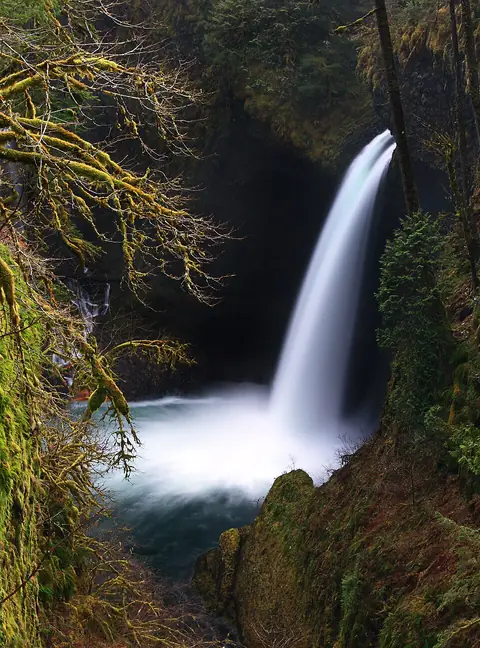
  • Metlako Falls

    about 102 ft · about 3.7 miles south of Cascade Locks

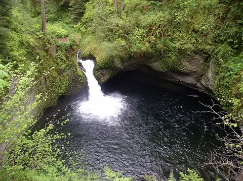
  • Punch Bowl Falls

    about 36 ft · about 4 miles south of Cascade Locks

  • Summit Creek Falls

    about 30 ft · about 6.8 miles east of Cascade Locks

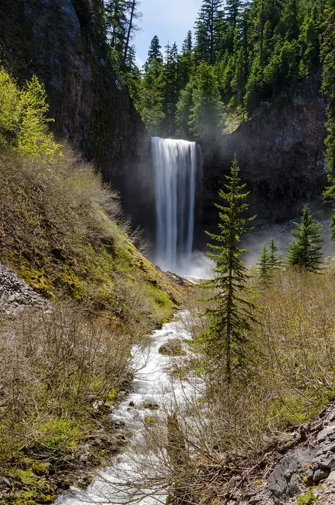
  • Tamanawas Falls

    about 108 ft · about 7.7 miles south of Parkdale

  • Cabin Creek Falls

    about 220 ft · about 8.3 miles east of Cascade Locks

  • Cannonball Falls

    about 7.7 miles southwest of Parkdale

  • Clark Creek Falls

    about 5.6 miles northeast of Government Camp

  • Coe Falls

    about 8.3 miles northeast of Government Camp

  • Cooper Spur Falls

    about 6.3 miles northeast of Government Camp

  • Dead Point Falls

    about 75 ft · about 4.6 miles southwest of Odell

  • Dry Creek Falls

    about 72 ft · about 1.3 miles south of Cascade Locks

  • Eden Park Falls

    about 7.5 miles north of Government Camp

  • Emerald Falls

    about 4.7 miles east of Cascade Locks

  • Four Mile Falls

    about 95 ft · about 5.1 miles south of Cascade Locks

  • Gorton Creek Falls

    about 4.7 miles east of Cascade Locks

  • Grand Union Falls

    about 41 ft · about 6.4 miles south of Cascade Locks

  • Harrison Falls

    about 7.4 miles east of Cascade Locks

  • Hole-in-the-Wall Falls

    about 96 ft · about 8.1 miles east of Cascade Locks

  • Kalakwahtie Falls

    about 8.3 miles northeast of Government Camp

  • Lancaster Falls

    about 231 ft · about 7.9 miles east of Cascade Locks

  • Lindsey Creek Falls

    about 53 ft · about 7.2 miles east of Cascade Locks

  • Loowit Falls

    about 78 ft · about 4.7 miles south of Cascade Locks

  • Lower Dryer Falls

    about 3.8 miles northeast of Government Camp

  • Lower Heather Canyon Falls

    about 5.6 miles northeast of Government Camp

  • Lower Lancaster Falls

    about 20 ft · about 7.9 miles east of Cascade Locks

  • Lower Punch Bowl Falls

    about 12 ft · about 3.9 miles south of Cascade Locks

  • Lower Ruckel Creek Falls

    about 3.2 miles southwest of Cascade Locks

  • McGee Creek Falls

    about 7 miles north of Government Camp

  • Middle Heather Canyon Falls

    about 5.5 miles northeast of Government Camp

  • Middle Mimie Falls

    about 3.5 miles northeast of Government Camp

  • Mimie Falls

    about 3.7 miles northeast of Government Camp

  • Newton Creek Falls

    about 6.1 miles northeast of Government Camp

  • Nick Eaton Falls

    about 2.4 miles east of Cascade Locks

  • Pacific Crest Falls

    about 1.3 miles southeast of Cascade Locks

  • Pencil Falls

    about 4.5 miles northeast of Government Camp

  • Punchbowl Falls

    about 4.7 miles southwest of Odell

  • Sahale Falls

    about 5.6 miles east of Government Camp

  • Sahalie Falls

    about 5.6 miles east of Government Camp

  • Skoonichuk Falls

    about 48 ft · about 5 miles south of Cascade Locks

  • Sorenson Falls

    about 164 ft · about 3.7 miles south of Cascade Locks

  • Starvation Creek Falls

    about 227 ft · about 8 miles west of Hood River

  • Stranahan Falls

    about 7.7 miles southwest of Parkdale

  • Switchback Falls

    about 4.5 miles east of Government Camp

  • Tenas Falls

    about 18 ft · about 5.3 miles south of Cascade Locks

  • Tunnel Falls

    about 172 ft · about 6.4 miles south of Cascade Locks

  • Twister Falls

    about 148 ft · about 6.5 miles south of Cascade Locks

  • Umbrella Falls

    about 59 ft · about 4.8 miles east of Government Camp

  • Upper Dryer Falls

    about 4 miles northeast of Government Camp

  • Upper Heather Canyon Falls

    about 5.5 miles northeast of Government Camp

  • Wah Gwin Gwin Falls

    in Hood River

  • Wallalute Falls

    about 8.2 miles southwest of Parkdale

  • Wapiti Falls

    about 7.8 miles southwest of Parkdale

  • Warren Creek Falls

    about 8.1 miles east of Cascade Locks

  • Wauna Falls

    about 3.7 miles southwest of Cascade Locks

  • Wy'east Falls

    about 157 ft · about 5.8 miles south of Cascade Locks