Waterfalls in Oregon
Oregon has 388 named waterfalls in our directory, the 5th most of any state. The most are in Hood River County (56), Multnomah County (36) and Lane County (36).
Updated November 2026
388Named falls
118With a recorded height
18Counties with 5 or more
Well-known falls in Oregon
Falls with a Wikipedia article or a figure from the land manager, so their details can be checked.
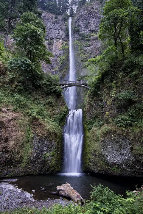
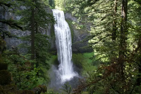
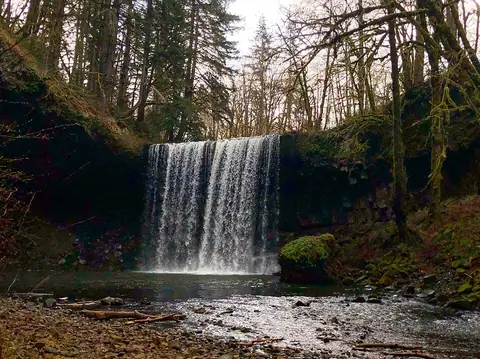
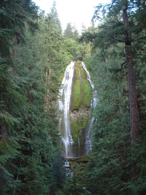
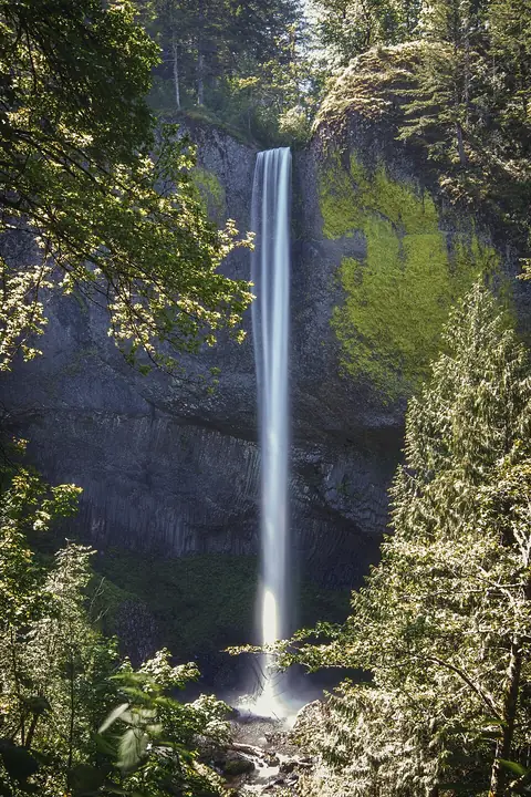
Oregon waterfall pages
- Mill Creek Falls173 ft
- Ramona Falls120 ft
- Bridal Veil Falls, Oregon118 ft
- Toketee Falls113 ft
- Metlako Falls102 ft
- Tumalo Falls89 ft
- Koosah Falls74 ft
- Sahalie Falls73 ft
- Wiesendanger Falls49 ft
- Willamette Falls39 ft
- Punch Bowl Falls36 ft
- Cline Falls20 ft
- Fairy Falls, Oregon20 ft
- Linton Falls600 ft
- Alsea Falls
- Benham Falls
- Dillon Falls, Deschutes County
- Ki-a-Kuts Falls
- Plaikni Falls
- Youngs River Falls
- Upper Chush Falls223 ft
- Diamond Creek Falls120 ft
- Duwee Falls98 ft
- Chush Falls67 ft
- Annie Falls52 ft
- Upper Butte Creek Falls26 ft
- Butte Falls15 ft
- Deer Lick Falls
- Fishhawk Falls
- Pringle Falls
- Tamolitch Falls
- Yocum Falls
- Tamanawas Falls108 ft
- Mist Falls, Oregon518 ft
- Columnar Canyon Falls125 ft
- Oneonta Falls98 ft
- Ponytail Falls88 ft
- Camp Benson Falls85 ft
- Summit Creek Falls30 ft
- Dillon Falls, Jackson County10 ft
Oregon waterfalls by county
Counties with five or more named falls have their own list. Smaller counties are listed further down this page.
Waterfalls near Oregon towns
Tallest recorded heights in Oregon
Heights come from OpenStreetMap unless a land manager publishes a figure. Mappers measure in different ways, so treat these as rough guides.
| Waterfall | County | Height |
|---|---|---|
| Multnomah Falls | Multnomah County | 620 ft (189 m) |
| Linton Falls | Lane County | 600 ft (183 m) |
| Mist Falls | Multnomah County | 518 ft (158 m) |
| Ice Falls | Wallowa County | 480 ft (146 m) |
| North Fork Falls | Douglas County | 410 ft (125 m) |
| Yocum Ridge Falls | Clackamas County | 394 ft (120 m) |
| Lower Kentucky Falls | Douglas County | 384 ft (117 m) |
| Marten Buttes Falls | Marion County | 364 ft (111 m) |
| Munson Creek Falls | Tillamook County | 319 ft (97 m) |
| Watson Falls | Douglas County | 292 ft (89 m) |
Other named falls in Oregon
Every fall has a Google Maps directions link. Locations are mapped points, so the trail or viewpoint may start somewhere else.
Baker County
-
East Fork Falls
Benton County
-
Green Peak Falls
-
Waters of Mormon
Columbia County
-
Bonnie Falls
Crook County
-
Lower Falls
-
Upper Falls
Curry County
-
Stair Creek Falls
Gilliam County
-
Tumwater Falls
-
Wolf Hollow Falls
Grant County
-
Meadow Brooks Falls
-
Slide Falls
-
South Fork Falls
-
Strawberry Falls
Harney County
-
Big Alvord Creek Falls
-
Cottonwood Creek Falls
-
Upper Cottonwood Creek Falls
Jefferson County
-
Dry Falls
-
Steelhead Falls
-
Wizard Falls
Lake County
-
Deep Creek Falls
Malheur County
-
Bogus Falls
-
Groundhog Falls
-
Rinehart Falls
Morrow County
-
Buck Falls
-
Glutton Falls
-
Thompson Falls
Polk County
-
Berry Creek Falls
-
Silver Falls
Sherman County
-
Horseshoe Falls
Union County
-
Copper Creek Falls
-
Lookingglass Falls
-
Lower Falls Little Minam River
Yamhill County
-
Baker Creek Falls
-
Gunaldo Falls
-
Niagara Falls
-
Pheasant Creek Falls
Questions about Oregon waterfalls
How many waterfalls are in Oregon?
Our directory lists 388 named waterfalls in Oregon, from OpenStreetMap and the United States Geological Survey list of named falls. Many smaller unnamed cascades are not counted.
Which county in Oregon has the most waterfalls?
Hood River County has the most named falls in our list, with 56. Multnomah County is next with 36.
Coming soon from E-Guides
Waterfall Road Trips: The Best Falls in Every State ebook
A planned ebook with trail length, parking and the best season for each highlight fall. It is not on sale yet; we will add it here when it is ready.